Projects

satellite communications (SATCOM)
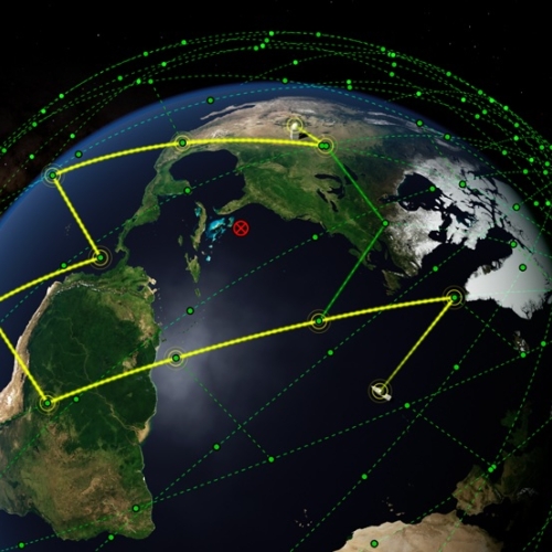
Networking for a New Era of Global Satellite Connectivity
Large constellations of satellites in low Earth orbit (LEO) allow for unparalleled global coverage but require new networking approaches.
Tags

Mitigating cellular network congestion through adaptive beamforming with reflectarrays
A low-cost, reconfigurable radio receiver architecture provides an alternative approach to filter out unwanted transmissions in millimeter-wave (MMW) signals.
Tags

Vine Robots for Collapsed Structure Mapping
These robots can navigate difficult urban disaster terrain to help responders locate and access victims for rescue.
Tags

Multi-label Dataset and Classifiers for Low-Altitude Disaster Imagery
This software program helps disaster responders extract actionable information from post-disaster aerial images.
Tags

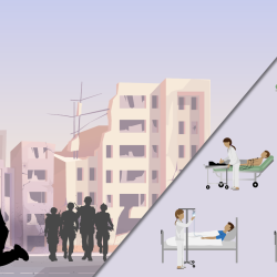
Healthcare-Based Multimodal Recovery Prediction for the Servicemember
This machine learning model will help military and hospital personnel predict when servicemembers and patients may recover following an injury or surgery.
Tags

Wind Turbine Interference–Mitigation Study
A strategy for lessening wind turbines’ effects on the performance of an aircraft measurement system at a naval air station on the Chesapeake Bay could inform future research into interference mitigation for other radar applications.
Tags

Dual-Use Waveforms for Radar Detection and Wireless Communication
New waveforms enable efficient spectrum sharing between radars sensing moving objects and wireless communications systems transmitting data.
Tags

Guiding Light in Air-Filled Fibers for Long-Distance Lasercom
A new type of fiber could transmit the high-power light needed for future deep-space science and exploration missions.
Tags

Finding People Under the Rainforest Roof with Lidar
Lincoln Laboratory is exploring the feasibility of building an airborne sensing system to detect the presence of humans under dense tree canopy.
Tags

Advanced Sensing for Hydrological Metrology
With Alabama A&M University, we are identifying opportunities to apply new remote sensing concepts to improve groundwater measurements and models. These models can inform decisions related to agriculture, land use, human health and wellness, and geopolitical stability.
Tags